
Lake Minnetonka Maps
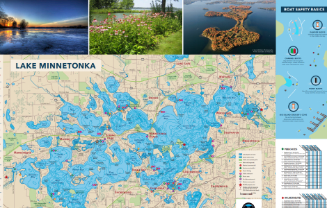
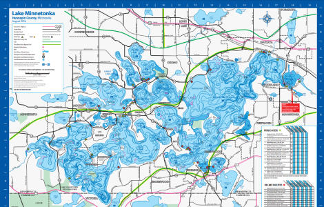
Lake Minnetonka stretches 10.9 miles and covers 22.7 square miles – it’s a big lake surrounded by 14 municipalities, dozens of local businesses and public spaces, and hundreds of private homes. Explore varying aspects of Lake Minnetonka using the maps below.

Lake Minnetonka WaterShed (MCWD)

Lake Minnetonka Amenities (Hennepin County)
